|
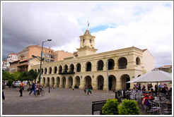
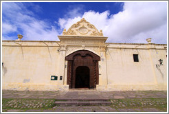
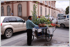
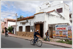
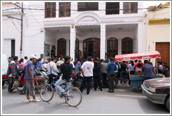
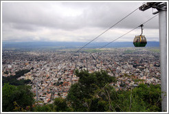
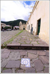
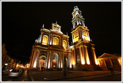
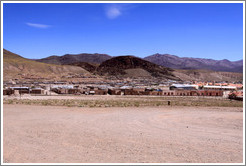
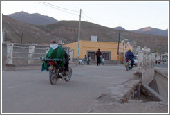
Salta, Argentina |
|
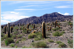
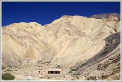
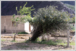
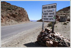
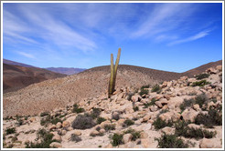
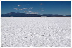
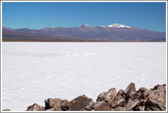
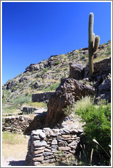
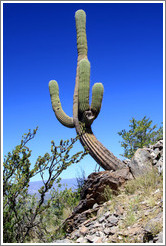
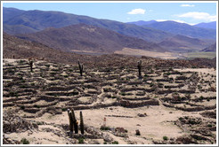
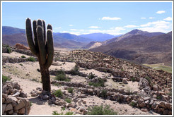
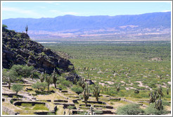
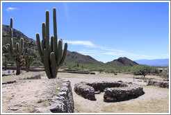
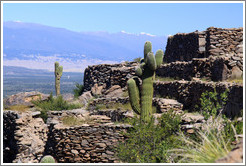
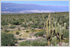
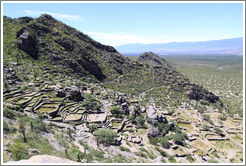
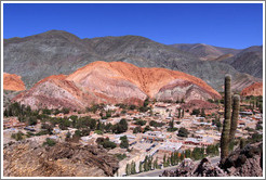
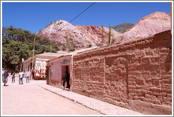
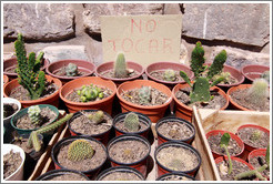
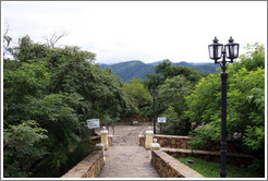
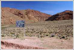
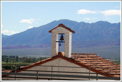
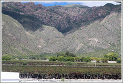
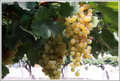
Salta is an area of stunning natural beauty; it's also home to some of Argentina's best wineries. The giant, colorful rock formations and expansive, crystalline salt flats rival those found in the western United States. The wineries in Cafayate, in the south of the province, are known for their Torrontes — incidentally, my favorite white varietal in the world. Pre-Inca ruins at Quilmes and Tastil, overrun by massive cacti, are made even more dramatic by their hilly, desert settings, with commanding views over the surrounding valleys.
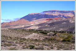
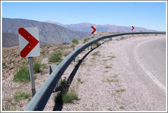
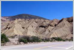
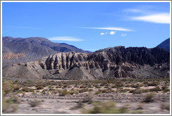
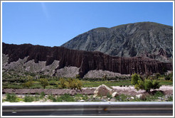
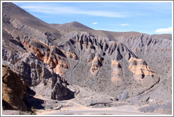
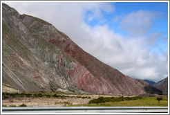
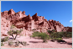
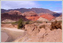
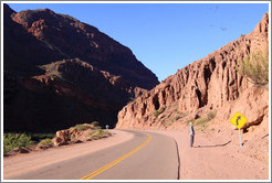
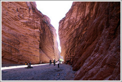
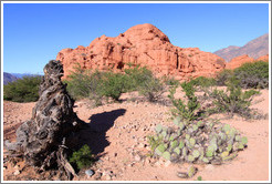
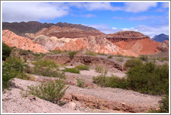
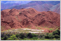
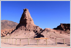
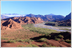
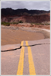
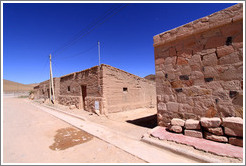
Quebrada de las ConchasLarge-scale red rock formations define Quebrada de las Conchas, a river valley in the middle of Salta province. Los Castillos (The Castles), El Anfiteatro (The Ampitheatre), La Garganta del Diablo (The Devil's Throat), and El Oblisco (The Obelisk) are some of the names given to this area's many natural rock formations.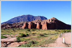

|
|


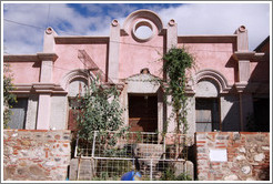

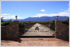
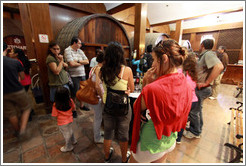
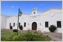
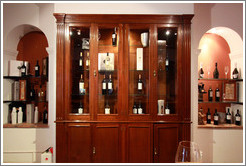
Bodega Etchart
Bodega Etchart is a relatively large operation, and visiting their premises isn't a completely satisfying experience. Large groups of visitors are herded through a carefully choreographed tour, with barriers maintained between them and anything "real" (the exhilarating experience of being surrounded by fragrant, wine-filled, wooden barrels is not to be had here), and visitors are brusquely chided if they linger while taking photographs. However, Etchart makes very good Torrontes, so they're forgiven.
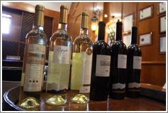
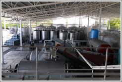

Bodega El Esteco
This winery, founded by two French brothers in 1892, is a joy to visit. Their wonderful wines have won a variety of international prizes (the first being in 1929), and I was quite taken by their Don David Tannat.
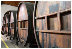
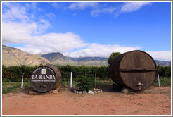
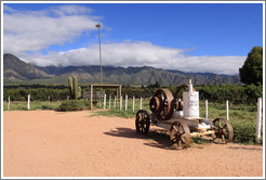
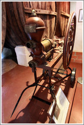
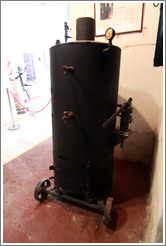
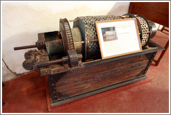
Bodega La Banda
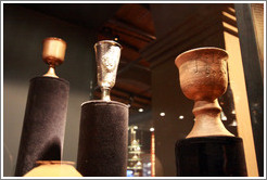
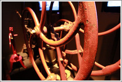
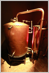
Bodega La Banda was founded in 1857, and the onsite museum provides some fine examples of antique wine-making equipment.
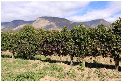
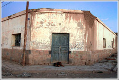
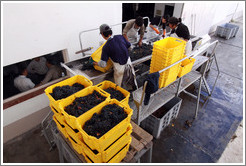
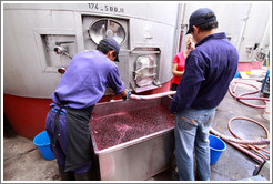
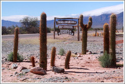
Bodega Tierra Colorada
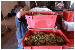
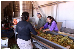
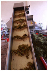
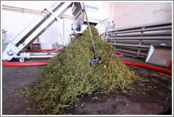
This is a real family winery, with no fluff or pretense. They don't have a tasting room, but I enjoyed watching the wine production.
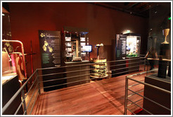
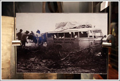
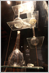
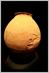
Museo de la Vid y el Vino (Museum of Vine and Wine)
Visiting this museum is more an aesthetic experience than an educational experience. Everything is beautifully laid out, but many items lack explanation.